Green light to rebuild Scott Base in Antarctica
14 October, 2021 — by Nicholas O'Flaherty
The New Zealand Government has given the green light to begin the redevelopment of Scott Base in Antarctica.
14 October, 2021 — by Nicholas O'Flaherty
The New Zealand Government has given the green light to begin the redevelopment of Scott Base in Antarctica.

26 April, 2021 — by Nicholas O'Falherty
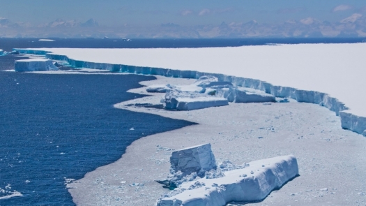
In the end, the demise of Iceberg A68A was relatively swift.

17 March, 2020 — by Nicholas O'Flaherty
The new wall map of Antarctica has been published by Land Information NZ (LINZ), in association with the New Zealand Antarctic Society

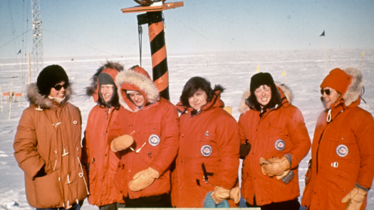
The first women arrived at the South Pole 50 years ago this month

The first flight of the season lands at the South Pole

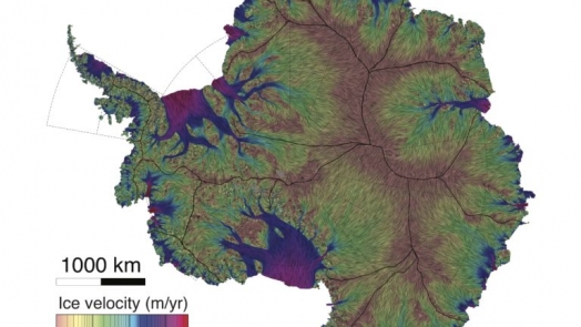
The most precise map ever of movement of the ice sheets across the surface of Antarctic bedrock.

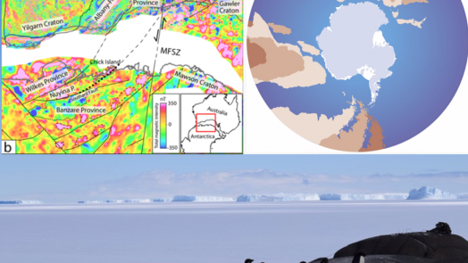
Antarctica and Australia separated more than 100 million years ago; airborne magnetic surveys of ice-covered bedrock in Antarctica identifies geological correlations between the two land masses.
16 July, 2017 — by Nicholas O'Flaherty
In this podcast, we talk to Lewis Pugh, UN Patron of the Oceans, about the Ross Sea Marine Protected Area
11 July, 2017 — by Nicholas O'Flaherty
In this podcast, we talk to Professor Robin Bell of Lamont- Doherty Earth Observatory, about the Gamburtsev Mountains in Antartica.
10 October, 2018 — by Nicholas O'Flaherty
It looks like Antarctic sea ice reached its max extent for 2018 on 2 October, at 18.15million km2.
15 October, 2018 — by Nicholas O'Flaherty
First plane of the season lands at the South Pole.
07 January, 2016 — by Staff Reporter
A team of scientists supported by the National Science Foundation (NSF) will be taking off in a specially-modified Gulfstream V jet this month as they survey remote parts of the Southern Ocean.
04 November, 2018 — by Nicholas O'Flaherty
At the extreme inner recess of the Ronne-Filchner Ice Shelf, the 5m tidal range moves the grounding line of the Foundation Ice Stream 20km back and forth with each tide